Back in the mountains. And it feels good. Home base for the next few weeks was sitting pretty at 3,052m, sandwiched between two national parks and surrounded by glacier capped peaks, visible on clear days.
We arrived in Huaraz with intentions of spending the first few days acclimatizing with some mellow day hikes to nearby lagunas and planning out the various multi day adventures we had our sights set on. Instead we quickly met two friendly climbers who had us out at the nearby climbing area of Los Olivos the first day, and off to a climbing festival the next.
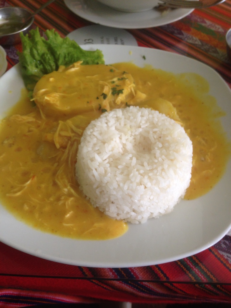
We had booked into a “climbers” hostel that had its own bouldering wall (when not under repair, we’ll let you know if that ever happens) and it instantly proved to be the right choice. Our first morning we dusted off the climbing gear and headed over to some rock walls on the outer edges of the town called Los Olivos. Ended up being far better than any other inner city climbing we’ve found so far and better yet, on the walk back we found set menu lunch for 4.00 soles (at the current CAD exchange rate that converts to……free).
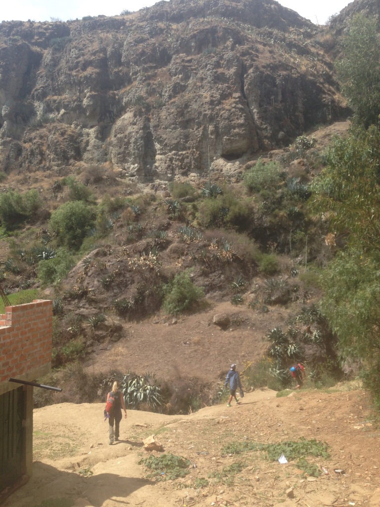
We were up early the next morning and on a public collectivo off to a rock climbing festival a few hours away at a relatively new climbing area called Inqa Wanqanqa. We arrived in its early stages and since we had only found out about the night before we didn’t plan on staying for the entire weekend. Would definitely have been a stellar time camping out and climbing all weekend with local and travelling climbers alike. Either way we got in a pretty sweet day of climbing with the crew who invited us.


Once back in Huaraz we got to planning our first trek, the 4 day Santa Cruz trek, one of several bigger trips we had on our mind for this area. We burned a few days picking up supplies and hashing out a rough plan to do the trek in reverse direction to what most people do, and in a day shorter so that we could tack on the Laguna 69 day hike and avoid having to make the commute back out to this area and do it another time.

Our trek started off tremendously as one of us received a lovely surprise on the walk over to catch our first collectivo on the way to the trail head in Cashapampa.

Neither of us majored in animal fecal matter but based on the size and smell I’d say this was a small flying dog. They say this is a sign of good luck, but I’m calling BS because if that were the case then a bunch of people would just sit in the park covered in birdseed and then go win Lotto 649.
I digress, we eventually made it to the trailhead and we were off. Headed up a valley towards blue lakes, rugged terrain and big peaks.


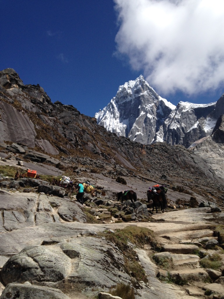
The direction we chose started at 2,900m, would peak at 4,750m at the Punta Union pass on day 2 and finish at 3,700m in the town of Vaqueria, which is why most people choose to hike it in the other direction. But getting to walk with glaciated peaks on all sides for 2 days made the extra vertical worth it. We made it well past the first designated camp site on our first day and called the edge of Laguna Jatuncocha home.


Our second day was ambitious, we wanted to fit in a side trek from the main valley up to the base camp of Alpamayo, critically acclaimed to be a very mountainy looking mountain. It was indeed quite mountainesque.
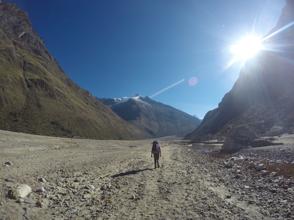

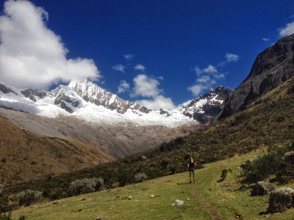


After finishing our bonus jaunt from 3,940m up to 4,425m and back down we still had the days’ miles ahead of us. We wanted to try and reach the pass and camp on the other side but our legs weren’t on the same page. We got up above the second camp filled with the tents and mules from the guided parties and continued as far as we could but it was well short of being on the other side of the pass. The evenings were frigid but each night grey clouds cleared off in time for a fiery sunset.

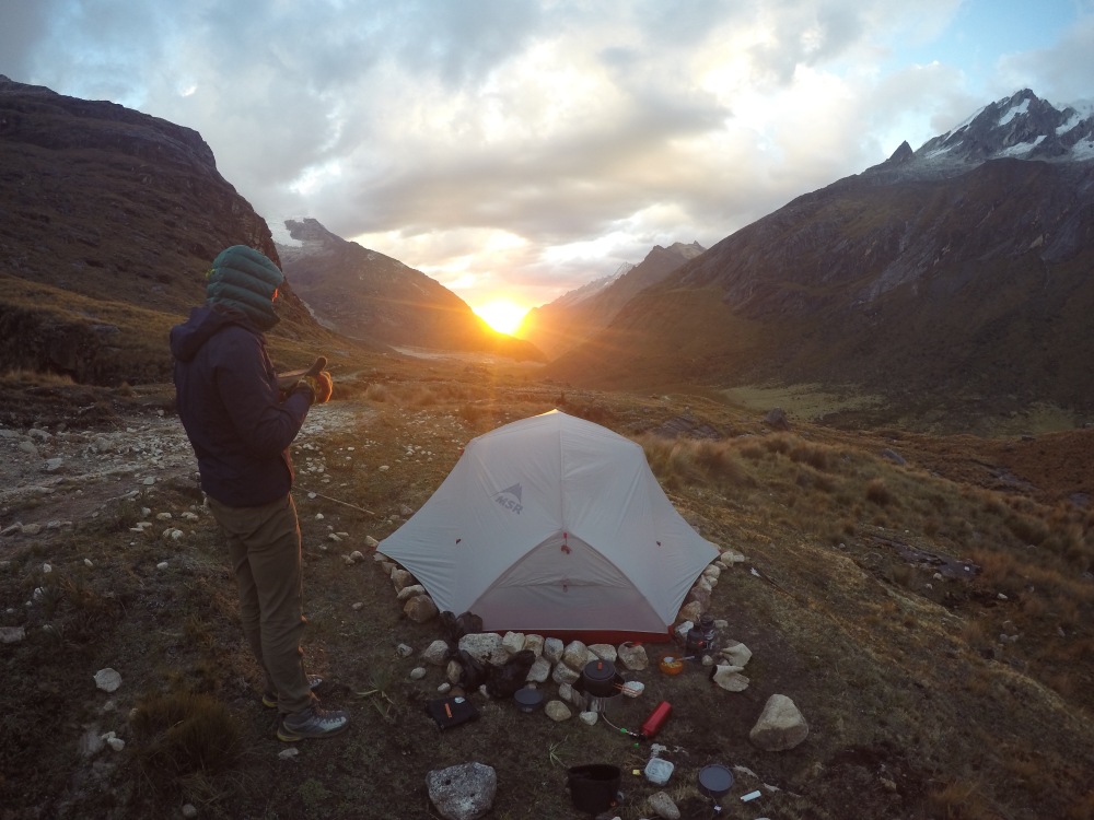

For day three, we wanted to climb the pass and either make it out to Vaqueria in time to catch a ride or camp nearby and make the trip to the Laguna 69 trailhead in the morning.


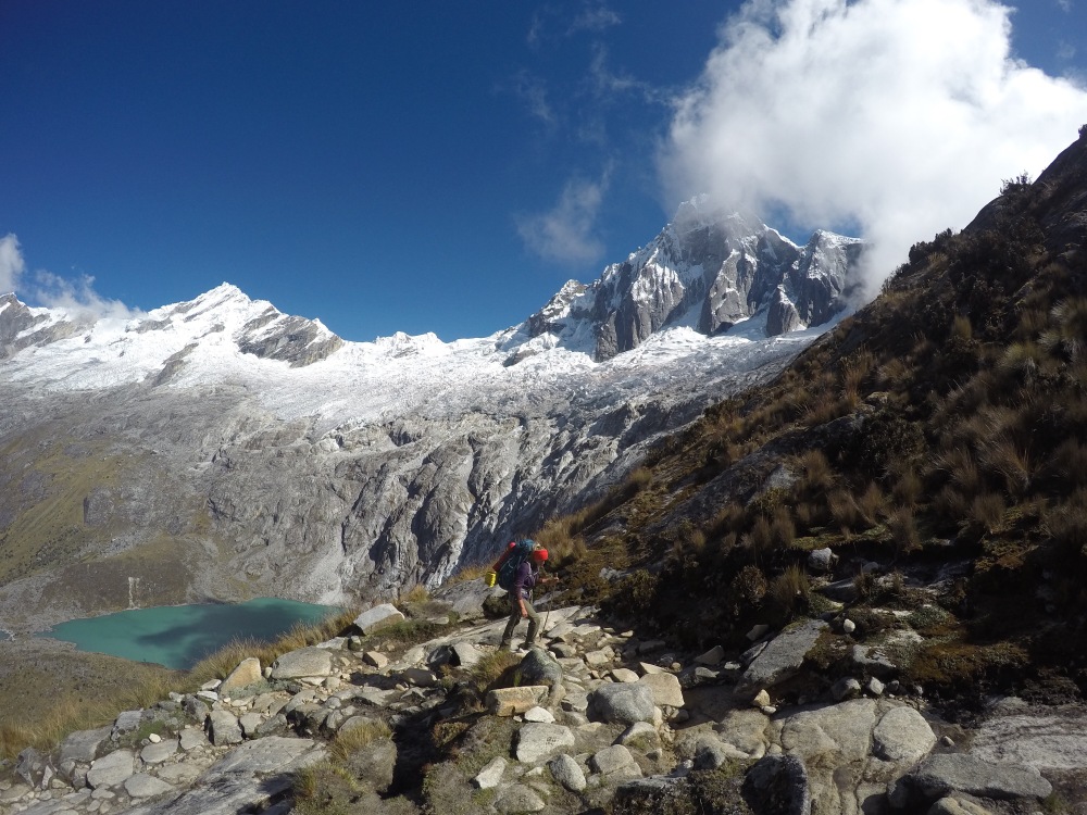

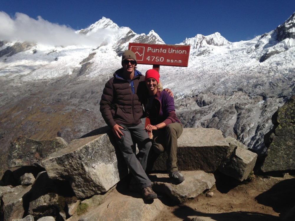


After gaining Punta Union pass, pausing for obligatory photos and craning our necks to take in Mount Taulliraju, we enjoyed 14km of downhill trail past lakes and green valley floor towards our destination. We made great time so we decided to push for Vaqueria, hopefully making it there in time to catch the last collectivo towards Yungay which left at 2:00pm, or 1:30pm, or 1pm, or 3:30pm depending on who you talked to. This is where our day got interesting. We were on track to reach town by 2pm until we learned that the final kilometer was actually a pure uphill grind that left both of us in less than joyous moods. When we arrived at 2:30 we learned the last ride out was closer to noon. The one collectivo driver in the 5 house town wasn’t leaving until he had a full van the next day, unless we wanted to pay 150 soles for a private ride. Being cheap and grumpy we decided to sit on the ground in front of some friendly woman’s tienda and have a beer while contemplating her offer of a cheap room to stay in and a wake up call for the first bus out of town…..at 3 or 4 in the morning the next day. She was also kind enough to frantically usher us inside her shop when a group of men started walking down the road in our direction. We instantly assumed this was some sort of scene from a western film and there was gonna be a shootout. Nope, just 4 guys holding on dearly to ropes attached to an ornery bull as they tried to drag it through town while avoiding its attempts to send them flying.
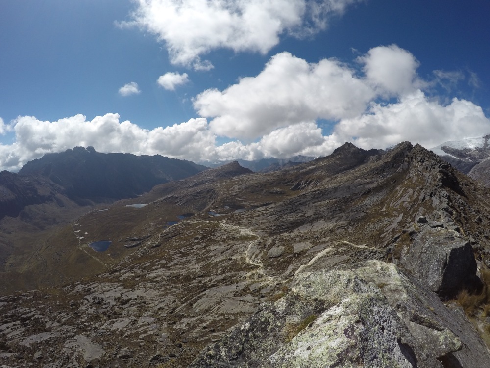

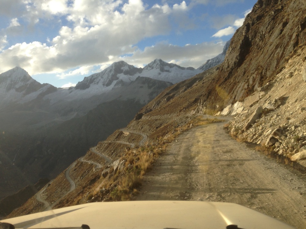
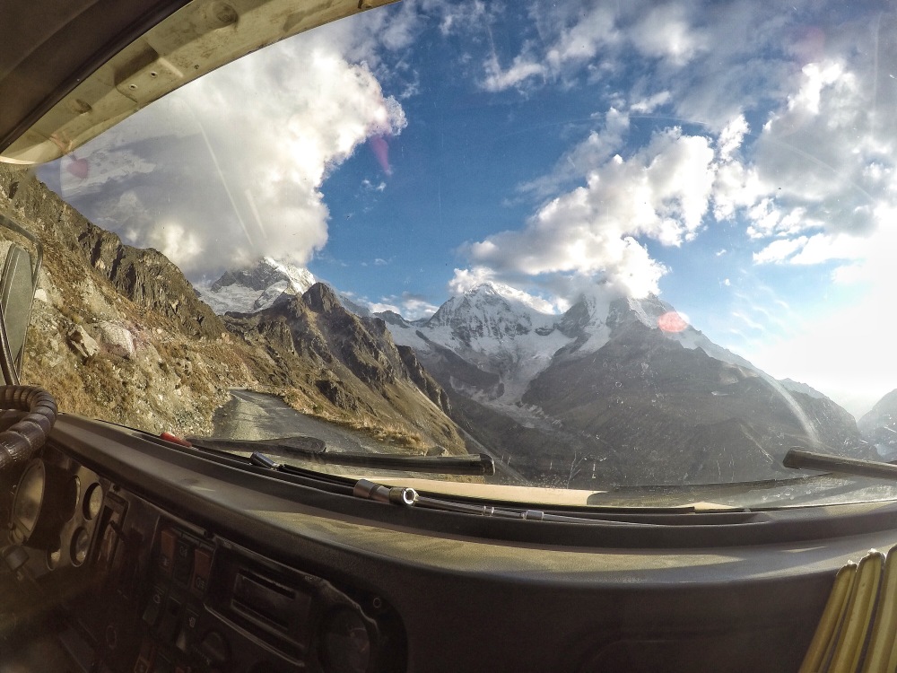
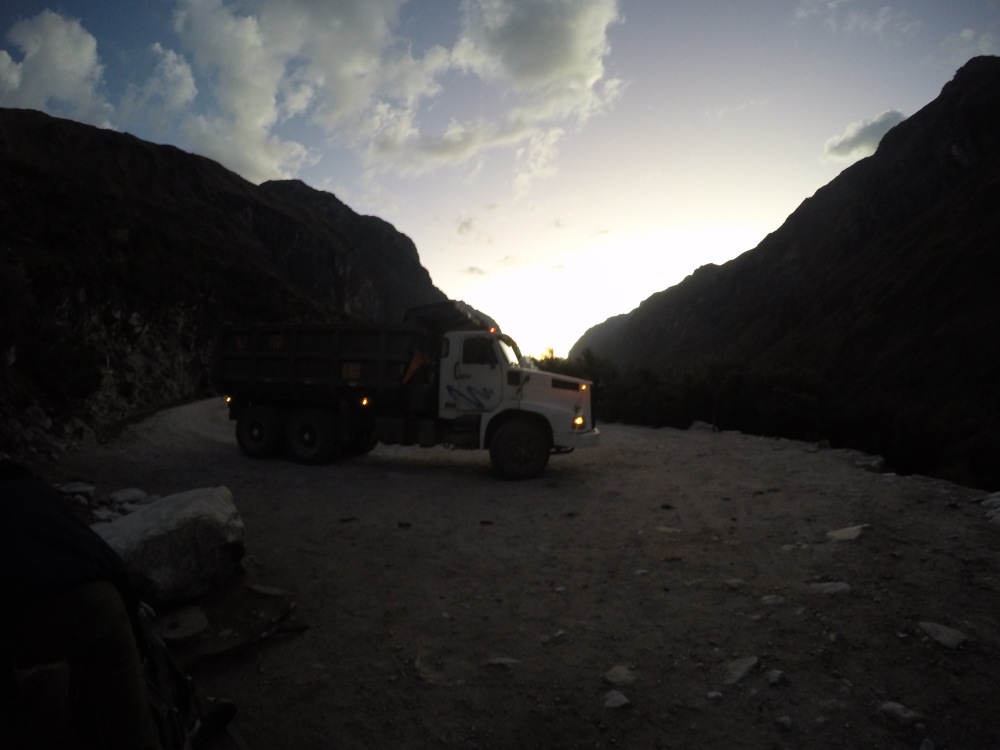
Entertainment aside, we were just about to abandon hope of making the Laguna 69 trail that evening when we heard the rumble of a big vehicle coming up the hill. The locals indicated it was a bus and we might be in luck so we hopped up ready to flag it down. Not exactly a bus but still the driver of a bouncing dump truck saw our flailing arms and pulled over and after a brief and I’m sure confusing explanation of where we wanted to be dropped off, he helped us climb up inside. Riding in a dump truck through Peru was fun in its own sense, but the road we would tackle for the next hour and a half easily earned top spot as the coolest and scariest road I’ve ever seen. Winding, bumpy, single lane dirt road up to a pass I don’t know the name of at 4,720m, then reaching the other side only to be greeted by the biggest peak in Peru and some of his epic looking pals, before descending a road consisting solely of switchbacks to Laguna de Llanganuco at roughly 3,860m. Neither of us blinked for the entire ride, nothing like sitting high above the road and bouncing around hairpin turns or better yet, gazing over the edge as the driver 3-point turned his way around the corners too tight for his rig to navigate (every time I swore his front wheels were going to go over).
As long winded of a story about a ride in a big truck as that was, we did eventually get dropped off where we wanted, set up camp in the dark and woke up at the starting point for the very popular Laguna 69 day hike.
We were able to be on the trail hours before any of the groups commuting from Huaraz, but we still tried to keep a good pace in order to be sure we had the laguna to ourselves for a bit before the crowds began to trickle in. We made the most of this and jumped at the opportunity for a quick swim. When you’re covered in a few days worth of grime and sweat, the cold is much less of an issue.


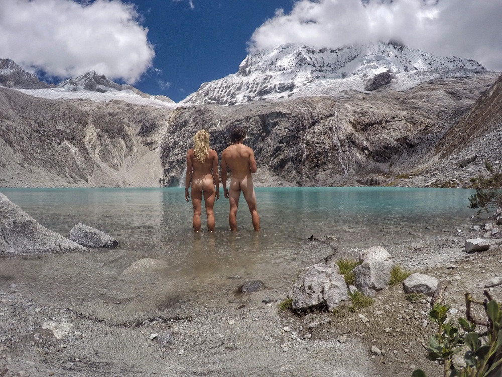

The good luck continued after the hike and we were almost immediately able to hail a ride from Peru’s most cautious driver back to Huaraz. It took over 3 hours instead of 2.5 but we made it and learned all about how much this guy loves food and every good Peruvian dish. Bit of history to wrap things up, we also learned about the 1970 earthquake that happened off the coast of Peru which caused massive avalanches and icefall to release from Mount Huascaran. The enormous mass picked up glacial deposits and gained size, reaching speeds over 210km/h and eventually buried the entire town of Yungay under 60m of rock and debris, leaving only a score of survivors.

Crazy eh? Back in Huaraz we properly bathed 4 days of sweat and dirt off us (seconds flailing around a glacial lake can only clean so much), cooked up massive recovery meals and began laying out plans for a 4 day climbing getaway to the rock forest of Hatun Machay.
Next post, I promise I won’t spend half the time recapping our ride there or delivering a history lecture.
¡Adios chicos!
All I can say is AWESOME!
LikeLiked by 1 person
I knew you’d like the mountain pictures!
LikeLike
I’m framing the butt pic 😉
LikeLiked by 1 person
Thanks for failing to include the “NSFW” tag on this post.
Buncha porno freaks gettin’ me in trouble with the boss.
LikeLiked by 1 person
Best photo ever!! Two gringo bums and Peru’s highest peak! Love yous!
LikeLike